Shelbyville is a home rule-class city and the county seat of Shelby County, Kentucky, about 29 miles east of downtown Louisville. It was established in 1792, named for Governor Isaac Shelby, and grew as a farm market town on the road between Louisville and Frankfort. Its downtown courthouse and Main Street commercial district are listed on the National Register of Historic Places.
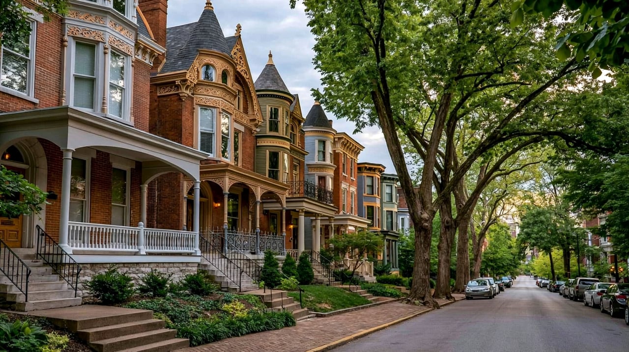
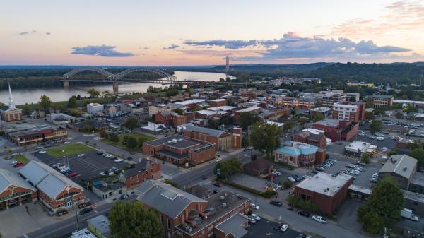
Downtown Shelbyville centers on the Shelby County Courthouse and several blocks of Main Street lined with brick commercial buildings. The courthouse and Main Street district was listed on the National Register in 1978, and nearby residential streets are part of a wider group of historic districts recognized in 1985. Downtown is the most walkable part of town.
The town was laid out on the west bank of Clear Creek, and a paved greenway trail now follows the creek. Horses are a big part of local identity. In 2005 the Kentucky General Assembly named Shelby County the American Saddlebred Horse Capital of the World, and the city hosts the annual Shelbyville Horse Show.
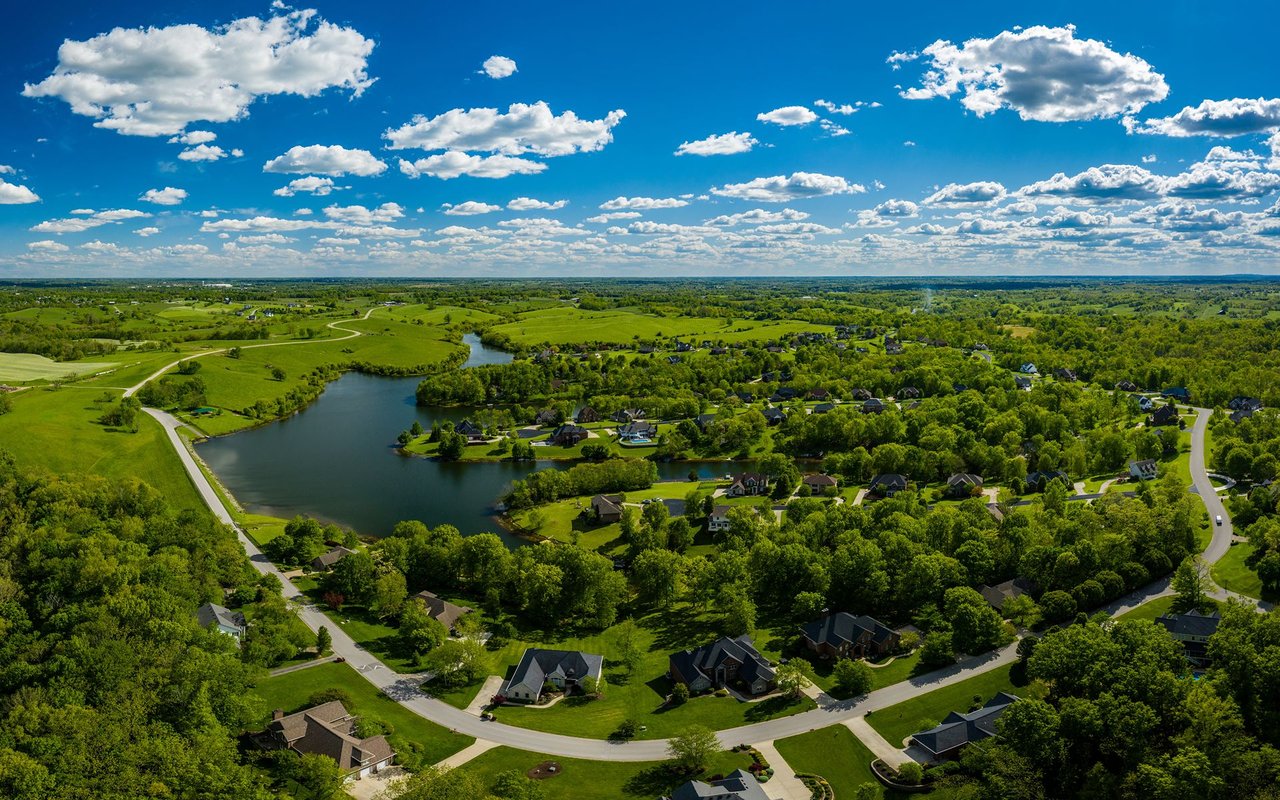
Shelbyville stayed a small town for most of its history and has grown quickly in recent decades. Historic houses are concentrated in and near downtown, while most other homes are in subdivisions built from the late 1900s onward. Outside the city limits, Shelby County has farms and homes on larger rural lots.
Interstate 64 runs about 2 miles south of downtown and is the main route to Louisville and Frankfort. U.S. 60 runs through town and continues west through Simpsonville toward Louisville. Benson Pike (Kentucky 1779) leads toward Guist Creek Lake. Downtown Louisville is about 35 minutes away by Interstate 64 without heavy traffic.
Park downtown and walk Main Street from the courthouse. Walk part of the Clear Creek Greenway, then drive south to Red Orchard Park for the Bluebird Trail. Finish with a tour at Jeptha Creed Distillery or Bulleit Distilling Co.
Is Shelbyville its own city?
Yes. Shelbyville is a home rule-class city with a mayor and city council, and it is the county seat of Shelby County.
How far is Shelbyville from downtown Louisville?
About 29 miles east in a straight line. The drive takes about 35 minutes by Interstate 64 without heavy traffic.
Which school district serves Shelbyville?
Shelby County Public Schools, which operates Shelby County High School and Martha Layne Collins High School.
Shelby County borders Oldham County to the north, Spencer County to the south, and Jefferson County, home to Louisville, to the west.
Properties
A live look at the market, updated every 15 minutes. Tap any home to book a tour.
32,160 people live in Shelbyville, where the median age is 39.5 and the average individual income is $37,156. Data provided by the U.S. Census Bureau.
Total Population
Median Age
Population Density Population Density This is the number of people per square mile in a neighborhood.
Average individual Income
Shelbyville has 12,470 households, with an average household size of 2.54. Data provided by the U.S. Census Bureau. Here’s what the people living in Shelbyville do for work — and how long it takes them to get there. Data provided by the U.S. Census Bureau. 32,160 people call Shelbyville home. The population density is 192 and the largest age group is Data provided by the U.S. Census Bureau.
Total Population
Population Density Population Density This is the number of people per square mile in a neighborhood.
Median Age
Men vs Women
Population by Age Group
0-9 Years
10-17 Years
18-24 Years
25-64 Years
65-74 Years
75+ Years
Education Level
Total Households
Average Household Size
Average individual Income
Households with Children
With Children:
Without Children:
Marital Status
Blue vs White Collar Workers
Blue Collar:
White Collar:
Connecting you to the area
Guides to what each area is like to live in, what is for sale, and what homes are selling for.