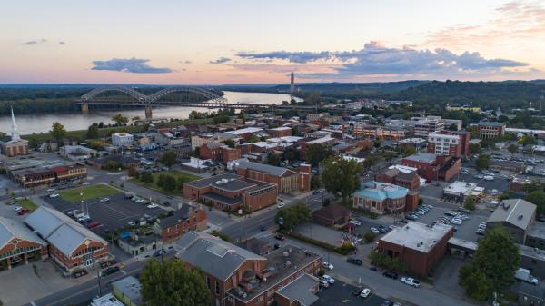
Sellersburg is an incorporated town in central Clark County, Indiana, about 10 miles north of downtown Louisville. It became a town in 1890 and grew up along the railroad, then along Interstate 65. The town has two Interstate 65 exits, and several state and county roads meet there. It borders Jeffersonville and Clarksville, and Charlestown, Memphis, and Borden are a short drive away.
The town center is around Utica Street and New Albany Street. Wilkerson Park, at that corner, has war memorials and a lawn called The Green that hosts seasonal events and summer concerts. The town offices are on East Utica Street, and the rail line that once brought passenger trains still runs through town.
Beyond the center, Sellersburg spreads out in subdivisions on both sides of Interstate 65. State Road 60 and U.S. 31 meet near Exit 7, and Exit 9 serves the Ivy Tech Community College Sellersburg campus on Highway 311. Just north of town is Speed, a community long tied to the cement industry.
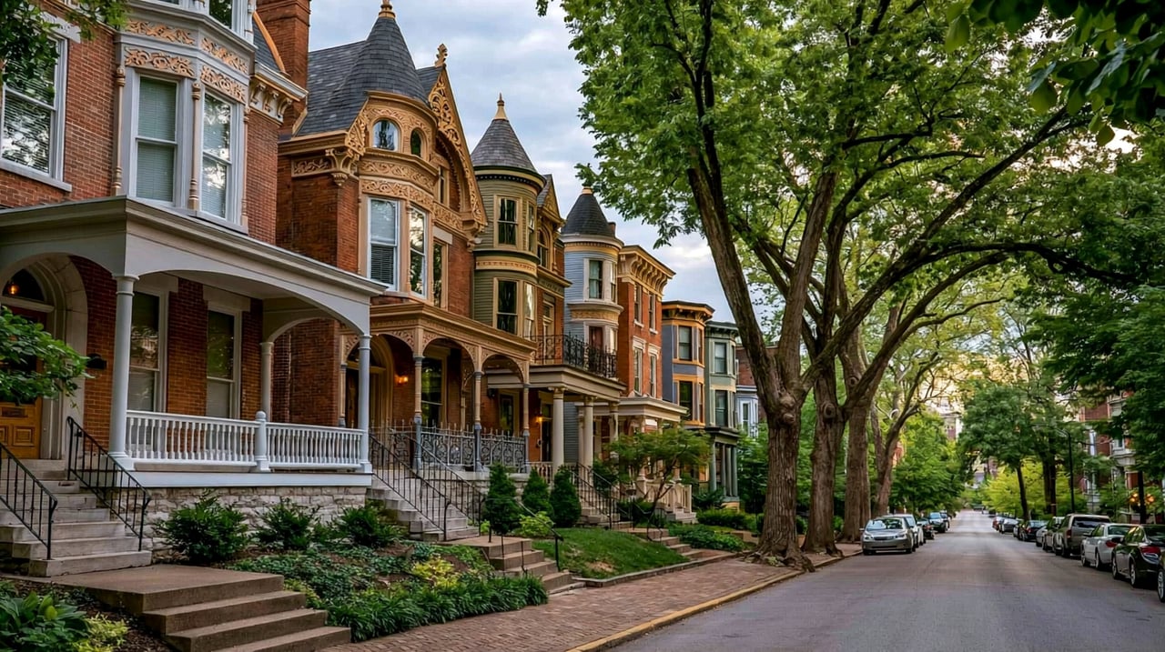
The older blocks near the town center have frame and brick houses from the late 1800s and early 1900s on small lots. Most housing is in subdivisions built from the later 1900s to today, with ranch and two-story houses on suburban lots. Some homes on the edges of town have larger rural lots.
Interstate 65 is the main route, with Exit 7 at State Road 60 and Exit 9 at Highway 311. U.S. 31 runs north and south through town. Downtown Louisville is about 15 to 20 minutes south without heavy traffic, crossing the Ohio River on the Kennedy or Lincoln bridges. Interstate 265 is a few miles south for trips east to the Lewis and Clark Bridge or west to New Albany.
Start at Wilkerson Park at Utica and New Albany Streets and walk the blocks around it. Then drive out State Road 60 past Exit 7 to see the newer neighborhoods, and finish with a stop at Mosley Park.
Is Sellersburg its own town?
Yes. Sellersburg is an incorporated town in Clark County, Indiana, incorporated in 1890.
How far is Sellersburg from downtown Louisville?
About 10 miles. The drive on Interstate 65 takes about 15 to 20 minutes without heavy traffic.
Which school district serves Sellersburg?
Sellersburg is served by the Silver Creek School Corporation, formed in 2020 when West Clark Community Schools split.
Sellersburg is north of Clarksville and Jeffersonville, and northeast of New Albany. The rest of Clark County, including Charlestown, Memphis, and Henryville, surrounds the town.
Properties
A live look at the market, updated every 15 minutes. Tap any home to book a tour.
21,045 people live in Sellersburg, where the median age is 42.6 and the average individual income is $44,299. Data provided by the U.S. Census Bureau.
Total Population
Median Age
Population Density Population Density This is the number of people per square mile in a neighborhood.
Average individual Income
Sellersburg has 8,383 households, with an average household size of 2.49. Data provided by the U.S. Census Bureau. Here’s what the people living in Sellersburg do for work — and how long it takes them to get there. Data provided by the U.S. Census Bureau. 21,045 people call Sellersburg home. The population density is 865 and the largest age group is Data provided by the U.S. Census Bureau.
Total Population
Population Density Population Density This is the number of people per square mile in a neighborhood.
Median Age
Men vs Women
Population by Age Group
0-9 Years
10-17 Years
18-24 Years
25-64 Years
65-74 Years
75+ Years
Education Level
Total Households
Average Household Size
Average individual Income
Households with Children
With Children:
Without Children:
Marital Status
Blue vs White Collar Workers
Blue Collar:
White Collar:
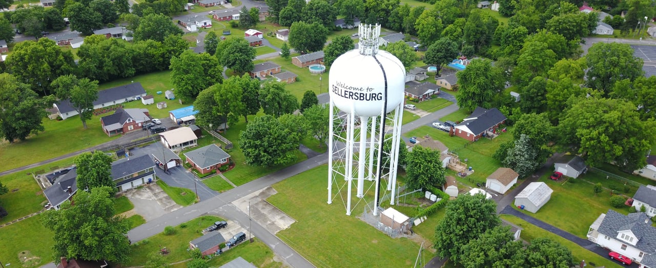
Connecting you to the area
Guides to what each area is like to live in, what is for sale, and what homes are selling for.