Lyndon is a small home rule-class city on LaGrange Road in Jefferson County, Kentucky, about 9 miles east of downtown Louisville. It began in 1871 as a railroad stop, when Alvin Wood built a depot on his land, and it incorporated in 1965. The city lies roughly between the Watterson Expressway, Westport Road, Whipps Mill Road, and Shelbyville Road, with LaGrange Road running through the middle.
LaGrange Road is Lyndon's main street, lined with apartment communities, shops, and offices. The older streets near Lyndon Lane, Vinecrest Avenue, and Wood Road are where the town started, close to where the depot stood. An electric interurban line to La Grange once stopped near Lyndon Lane and LaGrange Road; it ended in 1934, and its path was covered when LaGrange Road was widened.
A few landmarks from the early days remain. The Progress School building, a former one-room school, still stands at Wood and Whipps Mill roads as a private home. Robsion Park, a 17-acre city park between Lake Avenue and LaGrange Road, is the main public green space, with playgrounds, pavilions, a splash pad, and a 3/8-mile walking path. The park and the older side streets are the best places to explore on foot.
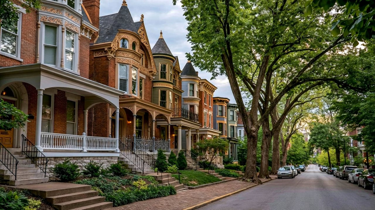
Lyndon's housing spans more than a century. A 2004 local history reprinted by the city notes early houses such as the two-story frame Washburn House from the 1830s on Fountain Avenue. Early 1900s bungalows line some shaded side streets near Wood Road. Much of the rest of the city is suburban subdivisions, many added to the city through annexations in the 1980s and in 2001. Apartment complexes and condominiums line much of LaGrange Road.
LaGrange Road (KY 146) runs through the center of Lyndon. The Watterson Expressway (I-264) forms the western edge and connects to Interstate 71 and Interstate 64. Shelbyville Road (U.S. 60) runs along the southern edge, and Westport Road along the northern edge. Downtown Louisville is about 15 to 20 minutes away by car without heavy traffic. TARC Route 8 serves Lyndon Lane and Westport Road; check ridetarc.org for current routes.
Park at Robsion Park, using the Lyndon Post Office drive off LaGrange Road, and walk the path. Then drive Lyndon Lane and Wood Road past the Progress School building and the older homes, and finish with a drive east on LaGrange Road to Whipps Mill Road.
Is Lyndon its own city?
Yes. Lyndon incorporated in 1965 and is a home rule-class city with a mayor and city council. It is in Jefferson County and is also part of Louisville Metro.
How did Lyndon get its name?
Alvin Wood named his 1871 depot Lyndon, apparently after Linn's Station, an 18th-century fort on a nearby fork of Beargrass Creek.
Which school district serves Lyndon?
Jefferson County Public Schools serves Lyndon. Confirm school assignments by address with the district.
Lyndon's neighbors on this site are St. Matthews to the west across the Watterson Expressway, Springhurst across Westport Road to the north, Hurstbourne across Shelbyville Road to the south, and Middletown and Anchorage to the east.
Properties
A live look at the market, updated every 15 minutes. Tap any home to book a tour.
11,030 people live in Lyndon, where the median age is 36 and the average individual income is $43,866. Data provided by the U.S. Census Bureau.
Total Population
Median Age
Population Density Population Density This is the number of people per square mile in a neighborhood.
Average individual Income
Lyndon has 5,759 households, with an average household size of 1.91. Data provided by the U.S. Census Bureau. Here’s what the people living in Lyndon do for work — and how long it takes them to get there. Data provided by the U.S. Census Bureau. 11,030 people call Lyndon home. The population density is 3,063 and the largest age group is Data provided by the U.S. Census Bureau.
Total Population
Population Density Population Density This is the number of people per square mile in a neighborhood.
Median Age
Men vs Women
Population by Age Group
0-9 Years
10-17 Years
18-24 Years
25-64 Years
65-74 Years
75+ Years
Education Level
Total Households
Average Household Size
Average individual Income
Households with Children
With Children:
Without Children:
Marital Status
Blue vs White Collar Workers
Blue Collar:
White Collar:
Connecting you to the area
Guides to what each area is like to live in, what is for sale, and what homes are selling for.