Clarksville is an incorporated town in Clark County, Indiana, about 3 miles north of downtown Louisville across the Ohio River. It lies between New Albany and Jeffersonville and was chartered in 1783. The town calls itself the oldest American town in the former Northwest Territory. Falls of the Ohio State Park, with fossil beds about 390 million years old, is on the town's riverfront. Most shopping is along the Interstate 65 corridor and Veterans Parkway.
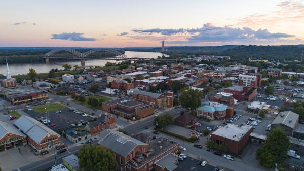
The south end of town faces the river. Falls of the Ohio State Park has about 220 acres of fossil beds and an interpretive center at 201 West Riverside Drive. Nearby, Ashland Park has benches facing the Louisville skyline and a Rosie the Riveter statue, and the large Colgate Clock faces the river.
Away from the river, the town spreads north along Eastern Boulevard and Blackiston Mill Road. The commercial area along Veterans Parkway and Lewis and Clark Parkway has Green Tree Mall, Bass Pro Shops, and many chain stores. The town is adding new parks and housing along its riverfront.
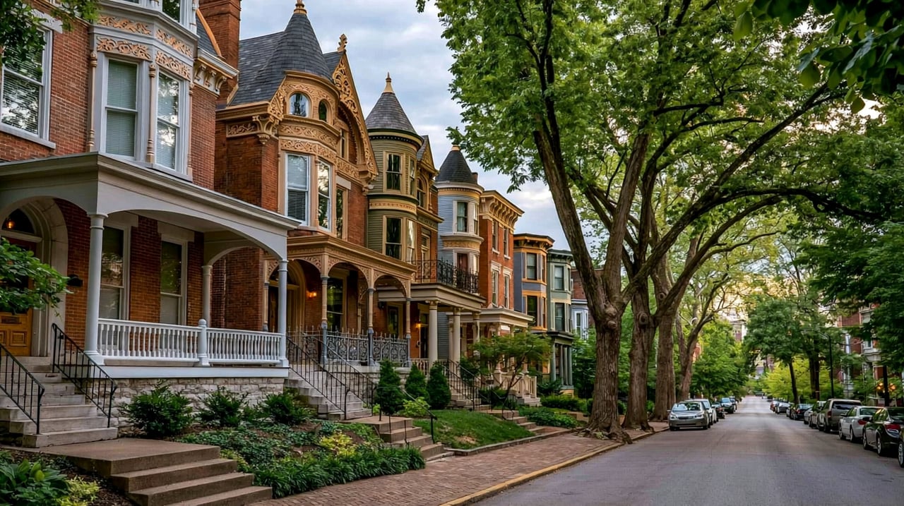
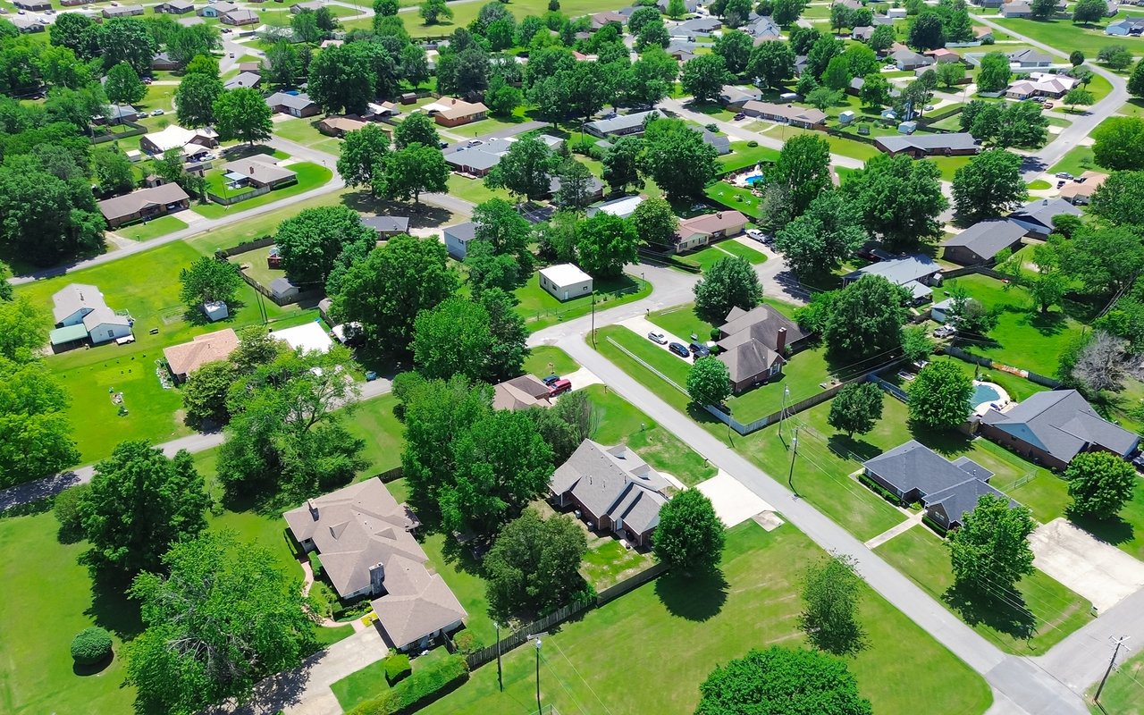
The older streets near the river and Eastern Boulevard have small frame and brick houses from the first half of the 1900s. Much of the town is made up of mid-1900s ranch and split-level neighborhoods on modest lots. Apartments and newer townhomes are spread through the commercial corridors, and new housing is planned along the riverfront.
Interstate 65 runs along the east side of town and reaches Louisville over the Lincoln and Kennedy bridges in Jeffersonville. Interstate 64 and the Sherman Minton Bridge are a short drive west through New Albany, and Interstate 265 is a short drive north. Downtown Louisville is about 10 minutes away without heavy traffic.
Start at Falls of the Ohio State Park. Tour the interpretive center, walk out on the fossil beds if the river is low, and then follow Riverside Drive east to Ashland Park for the skyline view. Finish with a drive up to Veterans Parkway to see the commercial side of town.
Is Clarksville a city or a town?
Clarksville is an incorporated town in Clark County, Indiana. It is separate from Jeffersonville, New Albany, and Louisville.
What is Clarksville known for?
It is home to Falls of the Ohio State Park and is where Meriwether Lewis and William Clark met and recruited the Corps of Discovery before their expedition west.
Which school district serves Clarksville?
Much of the town is served by Clarksville Community Schools. Some parts are in Greater Clark County Schools, so check the specific address.
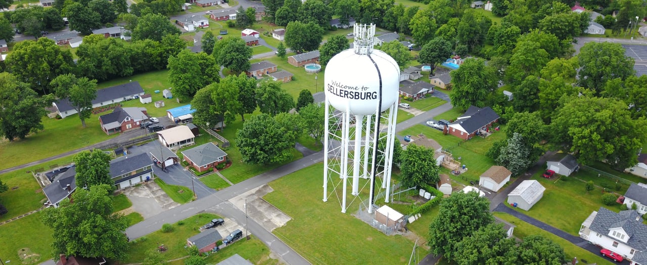
Clarksville borders New Albany to the west and Jeffersonville to the east. Sellersburg is a short drive north on Interstate 65, and the rest of Clark County is north and east. Louisville is across the river.
Properties
A live look at the market, updated every 15 minutes. Tap any home to book a tour.
22,016 people live in Clarksville, where the median age is 39.3 and the average individual income is $32,441. Data provided by the U.S. Census Bureau.
Total Population
Median Age
Population Density Population Density This is the number of people per square mile in a neighborhood.
Average individual Income
Clarksville has 9,392 households, with an average household size of 2.3. Data provided by the U.S. Census Bureau. Here’s what the people living in Clarksville do for work — and how long it takes them to get there. Data provided by the U.S. Census Bureau. 22,016 people call Clarksville home. The population density is 2,193 and the largest age group is Data provided by the U.S. Census Bureau.
Total Population
Population Density Population Density This is the number of people per square mile in a neighborhood.
Median Age
Men vs Women
Population by Age Group
0-9 Years
10-17 Years
18-24 Years
25-64 Years
65-74 Years
75+ Years
Education Level
Total Households
Average Household Size
Average individual Income
Households with Children
With Children:
Without Children:
Marital Status
Blue vs White Collar Workers
Blue Collar:
White Collar:
Connecting you to the area
Guides to what each area is like to live in, what is for sale, and what homes are selling for.