Louisville is Kentucky's largest city, on the south bank of the Ohio River in Jefferson County, across the river from Jeffersonville, Clarksville and New Albany, Indiana. Since January 1, 2003, the city and Jefferson County have shared one consolidated government, Louisville/Jefferson County Metro Government. Louisville is known for Churchill Downs and the Kentucky Derby, a park system designed by Frederick Law Olmsted and his firm, and the museums and bourbon distilleries along Main Street downtown.
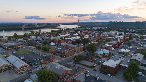
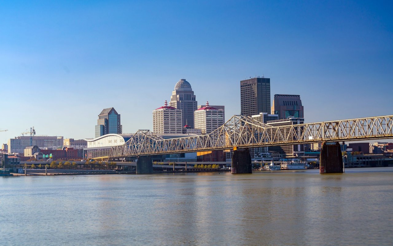
Downtown faces the river, where Waterfront Park stretches along the Ohio River and the Big Four Bridge carries walkers and cyclists to Indiana. Main Street is home to both Museum Row and Whiskey Row, where whiskey firms lined the street from the 1840s into the 1920s.
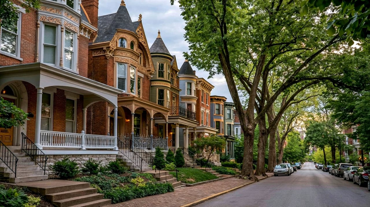
Older neighborhoods ring downtown. NuLu runs along East Market Street, and Butchertown, the old meatpacking district, is just east. Old Louisville, south of downtown, is a large district of Victorian-era homes. The Highlands follows Bardstown Road and Baxter Avenue, and Clifton and Crescent Hill line Frankfort Avenue. Farther out, the county includes newer suburban neighborhoods and several small cities that keep their own city governments inside Louisville Metro.
Housing changes with distance from the river. Near downtown you will find 1800s shotgun houses, Victorian homes and historic districts with design review, such as Butchertown, Cherokee Triangle and Old Louisville. Streetcar-era neighborhoods from the late 1800s and early 1900s, like The Highlands and Crescent Hill, come next. The outer parts of the county are mostly later suburban subdivisions.
Interstates 64, 65 and 71 meet downtown at the Kennedy Interchange. Six road and pedestrian bridges cross the Ohio River to Indiana: the Kennedy and Lincoln bridges (I-65), the Clark Memorial Bridge at Second Street, the Sherman Minton Bridge (I-64), the Lewis and Clark Bridge (I-265) in the east, and the Big Four pedestrian bridge. Louisville Muhammad Ali International Airport is south of downtown and is home to UPS Worldport, the company's global air package sorting center. TARC runs the city's public bus system.
Start at Waterfront Park and walk onto the Big Four Bridge for a view of the river and downtown. Then walk Main Street past Whiskey Row and Museum Row. In the afternoon, drive out Bardstown Road through The Highlands to Cherokee Park, or head south to Churchill Downs.
Is Louisville the same as Jefferson County?
Mostly, yes. Since 2003, Louisville Metro government has covered all of Jefferson County. A number of small cities inside the county, such as St. Matthews, Jeffersontown and Anchorage, still have their own city governments.
What county is Louisville in?
Louisville is in Jefferson County, Kentucky, the most populous county in the state.
Which school district serves Louisville?
Jefferson County Public Schools (JCPS) serves nearly all of Jefferson County. The city of Anchorage has its own small independent district.
Neighborhoods close to downtown include NuLu, Butchertown, Old Louisville, Germantown, The Highlands, Cherokee Triangle, Clifton and Crescent Hill. Across the river in Indiana are Jeffersonville, Clarksville and New Albany.
Properties
A live look at the market, updated every 15 minutes. Tap any home to book a tour.
770,113 people live in Louisville, where the median age is 38.4 and the average individual income is $41,044. Data provided by the U.S. Census Bureau.
Total Population
Median Age
Population Density Population Density This is the number of people per square mile in a neighborhood.
Average individual Income
Louisville has 325,537 households, with an average household size of 2.1033333333333335. Data provided by the U.S. Census Bureau. Here’s what the people living in Louisville do for work — and how long it takes them to get there. Data provided by the U.S. Census Bureau. 770,113 people call Louisville home. The population density is 2,854 and the largest age group is Data provided by the U.S. Census Bureau.
Total Population
Population Density Population Density This is the number of people per square mile in a neighborhood.
Median Age
Men vs Women
Population by Age Group
0-9 Years
10-17 Years
18-24 Years
25-64 Years
65-74 Years
75+ Years
Education Level
Total Households
Average Household Size
Average individual Income
Households with Children
With Children:
Without Children:
Marital Status
Blue vs White Collar Workers
Blue Collar:
White Collar:
Connecting you to the area
Guides to what each area is like to live in, what is for sale, and what homes are selling for.