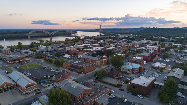
Georgetown is an incorporated town in western Floyd County, Indiana, about 12 miles west of downtown Louisville, just off Interstate 64 at Exit 118. George Waltz platted the town in 1833, and it is named for him. Its center has been listed on the National Register of Historic Places as the Georgetown Historic District since 2013. Rolling, wooded hills surround the town.
State Road 64 is the main road through town, and the town hall is at 9111 State Road 64. The historic district covers the old business blocks and nearby homes, roughly bounded by Georgetown-Greenville Road, Canal Lane, and Walnut Street. Its buildings date from the 1830s through the mid-1900s. Supreme Court Justice Sherman Minton was born in Georgetown in 1890.
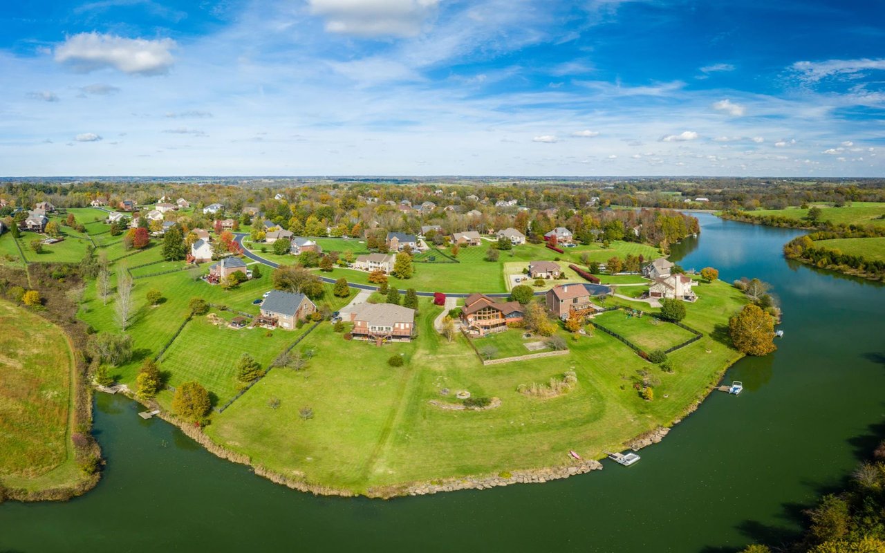
Outside the center, the town spreads into residential streets and subdivisions, with farmland and woods beyond the town limits. Georgetown Park on Lois Lane has a ball diamond, a playground, and a creek along its edge.
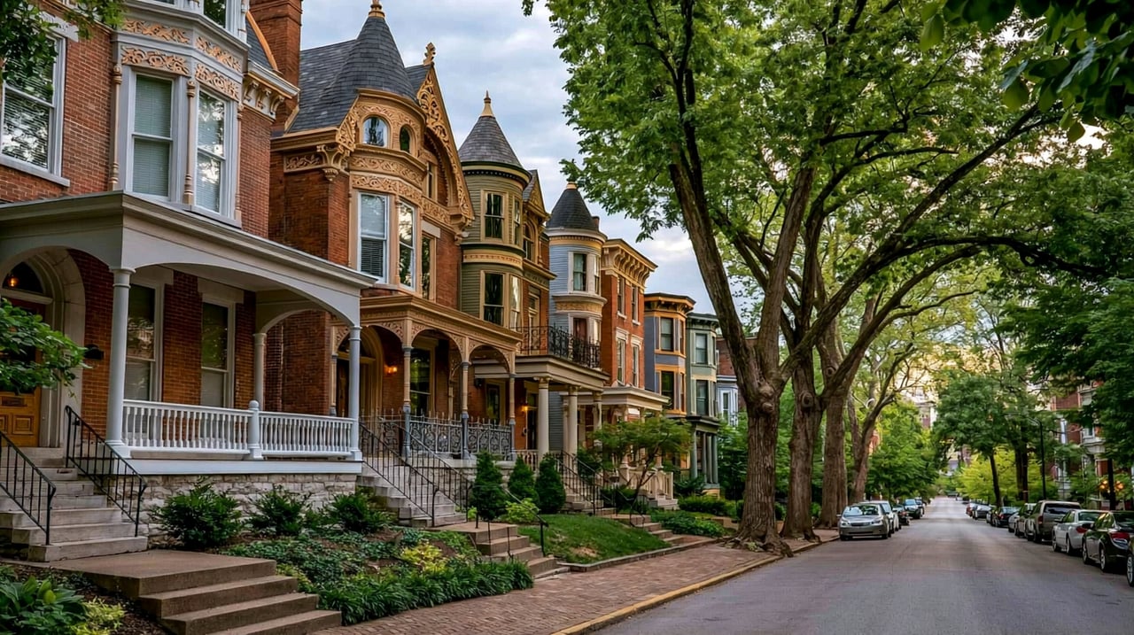
The historic district has 1800s and early 1900s houses on small town lots. Most homes in town are in subdivisions built from the 1960s onward, when Georgetown began steady growth. Outside the town limits, houses stand on larger rural and wooded lots.
Interstate 64 is the main route east, with Exit 118 signed for State Road 64 and State Road 62. State Road 64 heads west from town toward Harrison County. From Exit 118, I-64 leads east past Floyds Knobs and New Albany and over the Sherman Minton Bridge. Downtown Louisville is about 20 to 25 minutes away without heavy traffic, and downtown New Albany is about 15 minutes.
Take I-64 to Exit 118 and follow State Road 64 into town. Walk the historic blocks near the town hall, stop at Georgetown Park, and on a summer evening finish at the drive-in.
Is Georgetown its own town?
Yes. Georgetown is an incorporated town in Floyd County, Indiana, with its own town hall and police department. It is not the same place as Georgetown, Kentucky.
How far is Georgetown from downtown Louisville?
About 12 miles. The drive on Interstate 64 takes about 20 to 25 minutes without heavy traffic.
Which school district serves Georgetown?
Georgetown is served by the New Albany-Floyd County Consolidated School Corporation.
Floyds Knobs is just east along Interstate 64, and New Albany is beyond it. Harrison County borders the Georgetown area to the west.
Properties
A live look at the market, updated every 15 minutes. Tap any home to book a tour.
11,357 people live in Georgetown, where the median age is 40.9 and the average individual income is $46,125. Data provided by the U.S. Census Bureau.
Total Population
Median Age
Population Density Population Density This is the number of people per square mile in a neighborhood.
Average individual Income
Georgetown has 3,992 households, with an average household size of 2.83. Data provided by the U.S. Census Bureau. Here’s what the people living in Georgetown do for work — and how long it takes them to get there. Data provided by the U.S. Census Bureau. 11,357 people call Georgetown home. The population density is 321 and the largest age group is Data provided by the U.S. Census Bureau.
Total Population
Population Density Population Density This is the number of people per square mile in a neighborhood.
Median Age
Men vs Women
Population by Age Group
0-9 Years
10-17 Years
18-24 Years
25-64 Years
65-74 Years
75+ Years
Education Level
Total Households
Average Household Size
Average individual Income
Households with Children
With Children:
Without Children:
Marital Status
Blue vs White Collar Workers
Blue Collar:
White Collar:
Connecting you to the area
Guides to what each area is like to live in, what is for sale, and what homes are selling for.