Harrison County is a rural southern Indiana county along I-64 and the Ohio River, west of Louisville. Its county seat, Corydon, is about 25 miles west of downtown Louisville by road. Corydon was Indiana's first state capital, from statehood in 1816 until 1825, and the original limestone capitol still stands on the town square. Beyond Corydon, the county is mostly farmland, forest and karst country with caves, along with small towns such as Lanesville, Elizabeth, Palmyra and Mauckport.
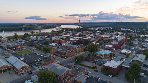
Corydon's downtown is a compact grid around the capitol square, and much of it is listed on the National Register as the Corydon Historic District. The square holds the Federal-style capitol built between 1814 and 1816. Nearby are the Governor's Headquarters, the First State Office Building and the trunk of the Constitution Elm, where delegates drafted Indiana's first constitution in 1816.
Outside town, two-lane state roads run through rolling farms, wooded ridges and creek valleys. The Blue River, Indiana's first natural and scenic river, flows through the west side of the county. To the south, the land drops to the Ohio River at Mauckport and Elizabeth.
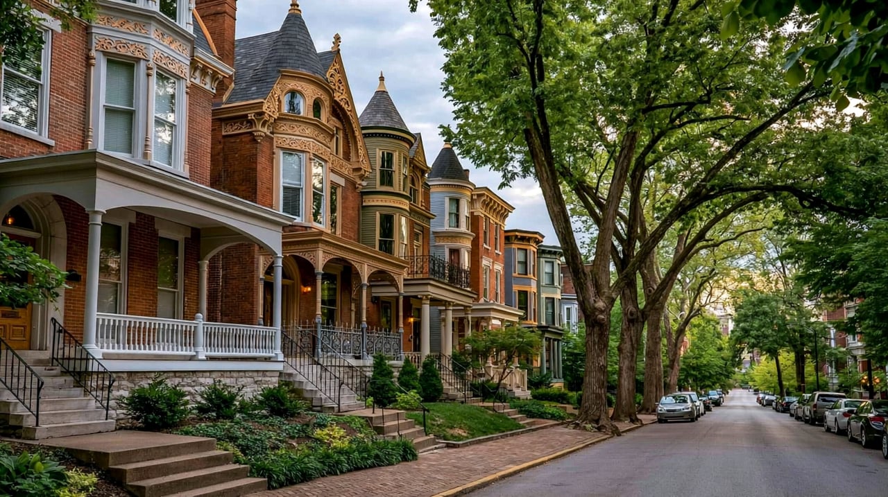
Corydon's historic district has homes from the early 1800s through the Italianate and Queen Anne styles of the late 1800s. Corydon and Lanesville also have mid-century and newer subdivisions near I-64. Across the rest of the county, most homes are rural houses and farmhouses on acreage, with some river-area homes in the south.
I-64 crosses the north part of the county and passes Lanesville on the way to Corydon (State Road 135, exit 105). Drivers reach Louisville by way of New Albany and the Sherman Minton Bridge. State Road 135 runs south from Corydon to Mauckport, where the Matthew E. Welsh Bridge crosses the Ohio River to Brandenburg, Kentucky. State Road 62 runs east and west through Corydon. From Corydon, downtown Louisville is about 30 minutes away without heavy traffic.
Take I-64 to exit 105 and park near the capitol square in Corydon. Tour the capitol, walk to the Constitution Elm and loop through the historic district. Then drive south on State Road 135 to Indiana Caverns or the Battle of Corydon Memorial Park.
What is the county seat of Harrison County, Indiana?
Corydon is the county seat. It served as Indiana's state capital from 1816 to 1825.
How far is Harrison County from downtown Louisville?
Corydon is about 25 miles west of downtown Louisville by I-64. The drive takes about 30 minutes without heavy traffic.
Which school districts serve Harrison County?
Three public school corporations serve the county: South Harrison Community School Corporation, North Harrison Community School Corporation and Lanesville Community School Corporation.
To the east, Floyd County has Georgetown, Floyds Knobs and New Albany. Across the Ohio River is Louisville.
Properties
A live look at the market, updated every 15 minutes. Tap any home to book a tour.
39,859 people live in Harrison County, where the median age is 43 and the average individual income is $35,756. Data provided by the U.S. Census Bureau.
Total Population
Median Age
Population Density Population Density This is the number of people per square mile in a neighborhood.
Average individual Income
Harrison County has 15,497 households, with an average household size of 2.54. Data provided by the U.S. Census Bureau. Here’s what the people living in Harrison County do for work — and how long it takes them to get there. Data provided by the U.S. Census Bureau. 39,859 people call Harrison County home. The population density is 82 and the largest age group is Data provided by the U.S. Census Bureau.
Total Population
Population Density Population Density This is the number of people per square mile in a neighborhood.
Median Age
Men vs Women
Population by Age Group
0-9 Years
10-17 Years
18-24 Years
25-64 Years
65-74 Years
75+ Years
Education Level
Total Households
Average Household Size
Average individual Income
Households with Children
With Children:
Without Children:
Marital Status
Blue vs White Collar Workers
Blue Collar:
White Collar:
Connecting you to the area
Guides to what each area is like to live in, what is for sale, and what homes are selling for.