Jeffersontown, often called J-town, is a home rule-class city in Jefferson County, Kentucky, about 11 miles east-southeast of downtown Louisville. It was chartered in 1797 on land laid out by Abraham Bruner. The city pairs a small town square at Taylorsville Road and Watterson Trail with the Bluegrass Commerce Park, a large business park that opened in 1966.
The center of town is Gaslight Square, where Taylorsville Road meets Watterson Trail. The Jeffersontown Historical Museum is a short walk away on Watterson Trail, and the square is the setting for the Gaslight Festival each September. This area is the most walkable part of the city.
Away from the square, Jeffersontown spreads out into suburban streets, city parks and business districts. The Bluegrass Commerce Park began on about 600 acres and has grown well beyond that, with offices, warehouses and plants. Nearby, Blackacre State Nature Preserve keeps a piece of the old Tyler Settlement farm landscape open to visitors.
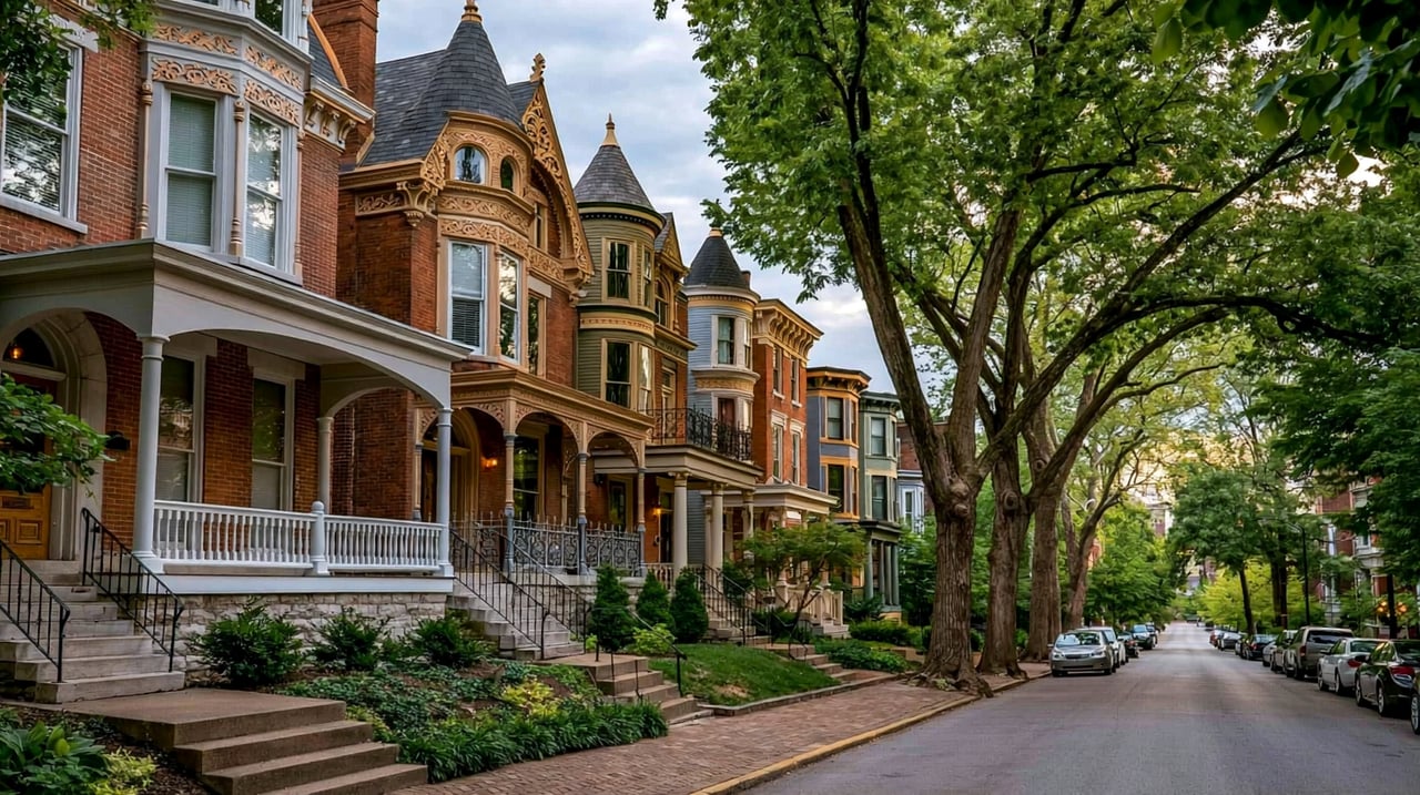
Jeffersontown stayed a small town until the 1950s and grew quickly over the next four decades. As a result, most homes are in subdivisions from the second half of the 1900s, mainly single-family ranch and two-story houses, with some newer neighborhoods and apartment and condominium communities near the main roads. A few older houses remain near the square.
Taylorsville Road and Watterson Trail are the main local roads through the old town. Interstate 64 runs along the north side, with an interchange at Blankenbaker Parkway near the business parks. Interstate 265 (the Gene Snyder Freeway) crosses the east side of the city. Downtown Louisville is about 20 to 25 minutes away by Interstate 64 without heavy traffic. TARC buses serve parts of the city; check ridetarc.org for current routes.
Start at Gaslight Square and walk to the Jeffersontown Historical Museum on Watterson Trail. Drive east on Taylorsville Road to Veterans Memorial Park. Finish on the trails at Blackacre State Nature Preserve on Tucker Station Road.
Is Jeffersontown its own city?
Yes. Jeffersontown is a home rule-class city with its own mayor and city council. It kept its independent status when Louisville and Jefferson County merged in 2003.
What county is Jeffersontown in?
Jefferson County, Kentucky. It is about 11 miles east-southeast of downtown Louisville.
Which school district serves Jeffersontown?
Jefferson County Public Schools. Confirm school assignments by address with the district.
Across Interstate 64 to the north is Middletown. Also close are Hurstbourne to the northwest and Fern Creek to the south.
Properties
A live look at the market, updated every 15 minutes. Tap any home to book a tour.
29,199 people live in Jeffersontown, where the median age is 40.5 and the average individual income is $41,471. Data provided by the U.S. Census Bureau.
Total Population
Median Age
Population Density Population Density This is the number of people per square mile in a neighborhood.
Average individual Income
Jeffersontown has 12,479 households, with an average household size of 2.32. Data provided by the U.S. Census Bureau. Here’s what the people living in Jeffersontown do for work — and how long it takes them to get there. Data provided by the U.S. Census Bureau. 29,199 people call Jeffersontown home. The population density is 2,745 and the largest age group is Data provided by the U.S. Census Bureau.
Total Population
Population Density Population Density This is the number of people per square mile in a neighborhood.
Median Age
Men vs Women
Population by Age Group
0-9 Years
10-17 Years
18-24 Years
25-64 Years
65-74 Years
75+ Years
Education Level
Total Households
Average Household Size
Average individual Income
Households with Children
With Children:
Without Children:
Marital Status
Blue vs White Collar Workers
Blue Collar:
White Collar:
Connecting you to the area
Guides to what each area is like to live in, what is for sale, and what homes are selling for.