Springhurst is a suburban part of Louisville Metro in northeastern Jefferson County, Kentucky, about 13 miles northeast of downtown Louisville by road. It is not a separate city. Springhurst grew around the Gene Snyder Freeway and Westport Road, where Springhurst Towne Center opened in 1997, and it is made up of many separate subdivisions.
The Gene Snyder Freeway shapes Springhurst. Large shopping centers line the freeway near Westport Road, including Springhurst Towne Center, an 800,000-square-foot center with national retailers and a movie theater, plus neighboring retail centers. Away from the stores, subdivision streets curve into cul-de-sacs, with entrances off Westport Road, Brownsboro Road, and Hurstbourne Parkway.
Springhurst has no official boundary. The name is used for the area around Westport Road, Brownsboro Road (KY 22) and Hurstbourne Parkway near the Gene Snyder Freeway. The nearest large public green space is E.P. "Tom" Sawyer State Park on Freys Hill Road, a few minutes from the shopping district. Most walks here happen inside individual subdivisions or at the state park.
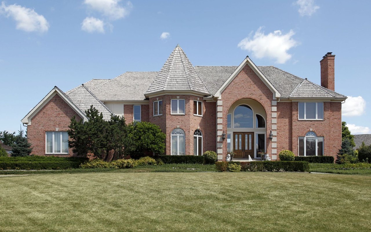
Most homes are in subdivisions that grew up around the freeway and the shopping district. You will find single-family homes on suburban lots, along with attached homes, condominiums, and apartment communities in some sections, especially closer to the main roads. Many subdivisions have their own homeowners associations, so ask for the rules of the specific subdivision.
The Gene Snyder Freeway (I-265) runs through Springhurst and meets Interstate 71 to the north. Westport Road, Brownsboro Road (KY 22), and Hurstbourne Parkway are the main local roads. Downtown Louisville is about 20 to 25 minutes away by car via I-71 without heavy traffic. TARC buses serve parts of the area; check ridetarc.org for current routes.
Start at Springhurst Towne Center near Westport Road and the Snyder. Drive a short way to E.P. "Tom" Sawyer State Park on Freys Hill Road for a walk. Then loop north on Hurstbourne Parkway to Brownsboro Road to see the subdivision entrances and street pattern.
Is Springhurst its own city?
No. Springhurst is an area within Louisville Metro, not an incorporated city, and it has no official boundary.
How far is Springhurst from downtown Louisville?
About 13 miles northeast by road, or about 20 to 25 minutes by car without heavy traffic.
Which school district serves Springhurst?
Jefferson County Public Schools serves Springhurst. Confirm school assignments by address with the district.
Neighboring areas on this site include Lyndon to the southwest across Westport Road, Norton Commons and Prospect to the north, and Anchorage to the southeast.
Properties
A live look at the market, updated every 15 minutes. Tap any home to book a tour.
2,995 people live in Springhurst, where the median age is 51 and the average individual income is $77,859. Data provided by the U.S. Census Bureau.
Total Population
Median Age
Population Density Population Density This is the number of people per square mile in a neighborhood.
Average individual Income
Springhurst has 1,163 households, with an average household size of 2. Data provided by the U.S. Census Bureau. Here’s what the people living in Springhurst do for work — and how long it takes them to get there. Data provided by the U.S. Census Bureau. 2,995 people call Springhurst home. The population density is 3,755 and the largest age group is Data provided by the U.S. Census Bureau.
Total Population
Population Density Population Density This is the number of people per square mile in a neighborhood.
Median Age
Men vs Women
Population by Age Group
0-9 Years
10-17 Years
18-24 Years
25-64 Years
65-74 Years
75+ Years
Education Level
Total Households
Average Household Size
Average individual Income
Households with Children
With Children:
Without Children:
Marital Status
Blue vs White Collar Workers
Blue Collar:
White Collar:
Connecting you to the area
Guides to what each area is like to live in, what is for sale, and what homes are selling for.