Clark County is the southern Indiana county directly across the Ohio River from Louisville, and its county seat, Jeffersonville, is about 2 miles north of downtown Louisville. The county includes the cities of Jeffersonville and Charlestown and the towns of Clarksville, Sellersburg, Utica and Borden. Four road bridges and the Big Four walking bridge connect it to Louisville, and the Devonian fossil beds at Falls of the Ohio State Park are among the largest exposed beds of their kind in the world.
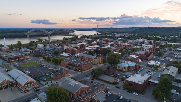
The south end of the county follows the Ohio River. Jeffersonville's older core, listed on the National Register as the Old Jeffersonville Historic District, runs from the riverfront to Court Avenue on a grid of downtown streets. The Big Four Bridge, a former railroad bridge, carries people on foot and bike from Jeffersonville to Louisville's Waterfront Park. Clarksville lines the river to the west, where the fossil beds appear when the water is low.
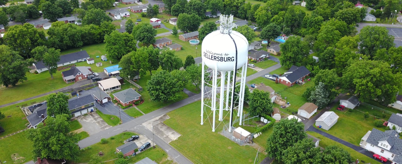
North of I-265 the county opens up. Sellersburg and Charlestown are smaller places with their own town centers. Farther north, around Henryville and Borden, the land rises into wooded knobs and state forest.
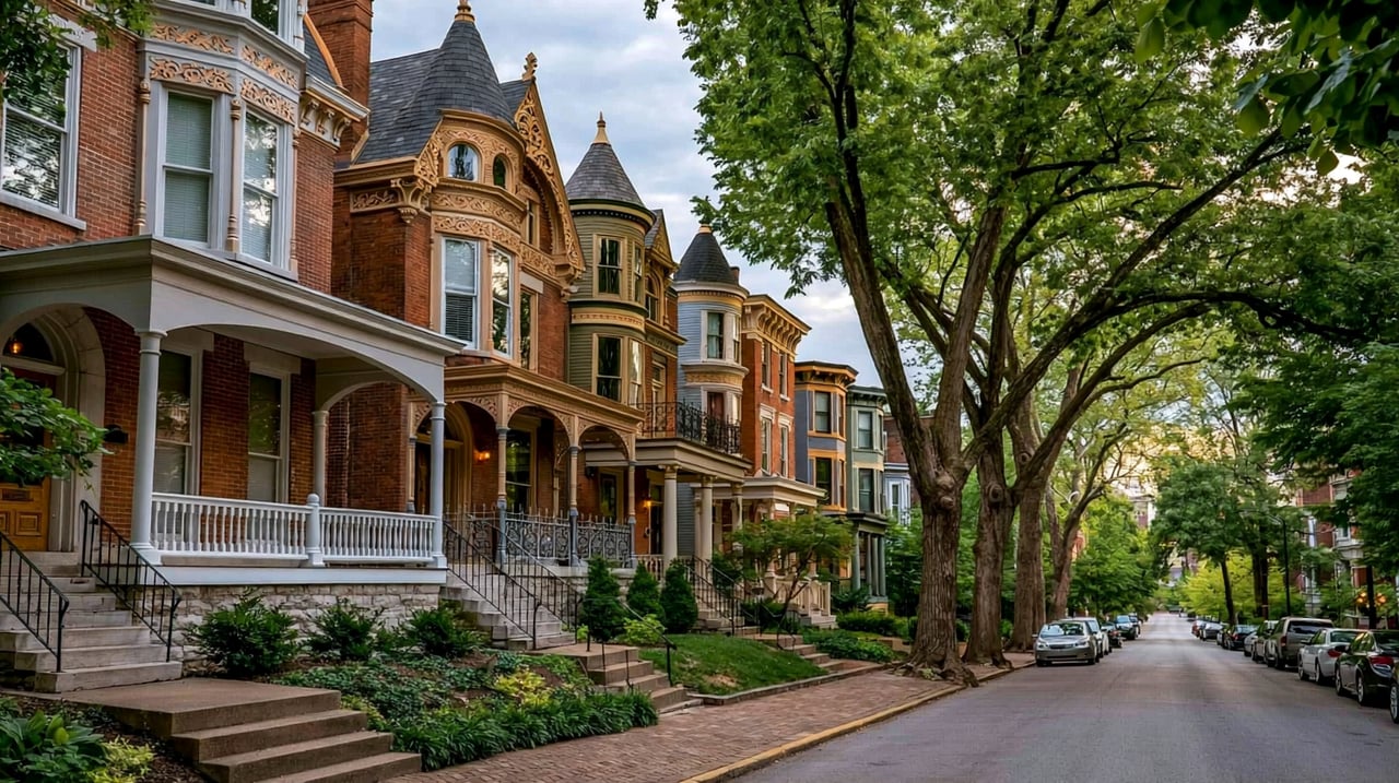
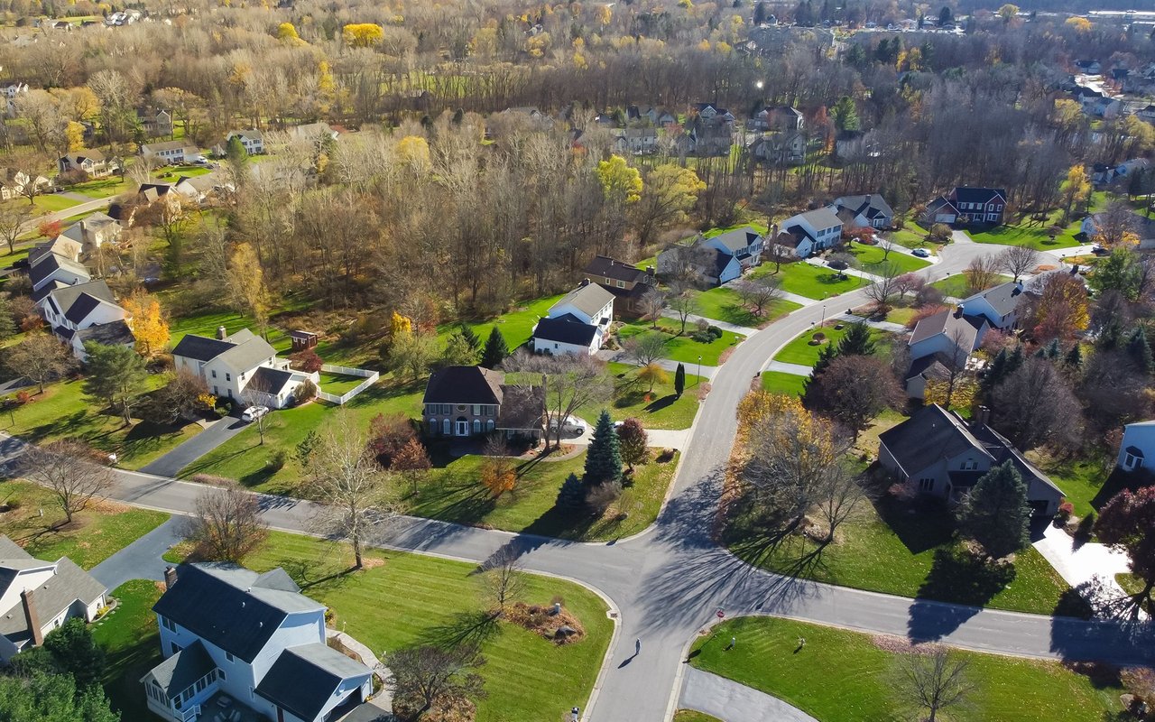
Jeffersonville's historic district has homes and commercial buildings from the 1800s and early 1900s. Clarksville and the older parts of Jeffersonville have many mid-century neighborhoods. Sellersburg, Charlestown and the area along I-265 have newer subdivisions. The northern townships have rural homes on larger lots and farm tracts.
I-65 runs north and south through the county, crossing into Louisville on the Abraham Lincoln Bridge (northbound) and the Kennedy Bridge (southbound). I-265 crosses east to Kentucky on the Lewis and Clark Bridge near Utica. The Clark Memorial Bridge (Second Street Bridge) links downtown Jeffersonville and downtown Louisville. State Road 62 links Jeffersonville to Charlestown and Charlestown State Park. From Jeffersonville, downtown Louisville is about 5 to 10 minutes away without heavy traffic. From Sellersburg or Charlestown, plan on about 20 to 25 minutes. The Lincoln, Kennedy and Lewis and Clark bridges are tolled. The Clark Memorial Bridge is toll free.
Start at Falls of the Ohio State Park in Clarksville and walk the fossil beds if the river is low. Drive east along Riverside Drive to Jeffersonville, park near the Big Four Bridge and walk across toward Louisville. Finish with a loop through the Old Jeffersonville Historic District.
What is the county seat of Clark County, Indiana?
Jeffersonville is the county seat. It is on the Ohio River, directly across from downtown Louisville.
What towns are in Clark County?
The incorporated places are the cities of Jeffersonville and Charlestown and the towns of Clarksville, Sellersburg, Utica and Borden. Henryville is an unincorporated community in the north part of the county.
Which school districts serve Clark County?
Four public school corporations serve the county: Greater Clark County Schools, Clarksville Community Schools, Silver Creek School Corporation and Borden-Henryville School Corporation. The last two were formed in 2020 when West Clark Community Schools split.
Clark County includes Jeffersonville, Clarksville and Sellersburg. To the west, Floyd County has New Albany and Floyds Knobs. Across the river is Louisville, and the Lewis and Clark Bridge lands near Prospect.
Properties
A live look at the market, updated every 15 minutes. Tap any home to book a tour.
124,354 people live in Clark County, where the median age is 39.9 and the average individual income is $38,661. Data provided by the U.S. Census Bureau.
Total Population
Median Age
Population Density Population Density This is the number of people per square mile in a neighborhood.
Average individual Income
Clark County has 51,242 households, with an average household size of 2.39. Data provided by the U.S. Census Bureau. Here’s what the people living in Clark County do for work — and how long it takes them to get there. Data provided by the U.S. Census Bureau. 124,354 people call Clark County home. The population density is 334 and the largest age group is Data provided by the U.S. Census Bureau.
Total Population
Population Density Population Density This is the number of people per square mile in a neighborhood.
Median Age
Men vs Women
Population by Age Group
0-9 Years
10-17 Years
18-24 Years
25-64 Years
65-74 Years
75+ Years
Education Level
Total Households
Average Household Size
Average individual Income
Households with Children
With Children:
Without Children:
Marital Status
Blue vs White Collar Workers
Blue Collar:
White Collar:
Connecting you to the area
Guides to what each area is like to live in, what is for sale, and what homes are selling for.